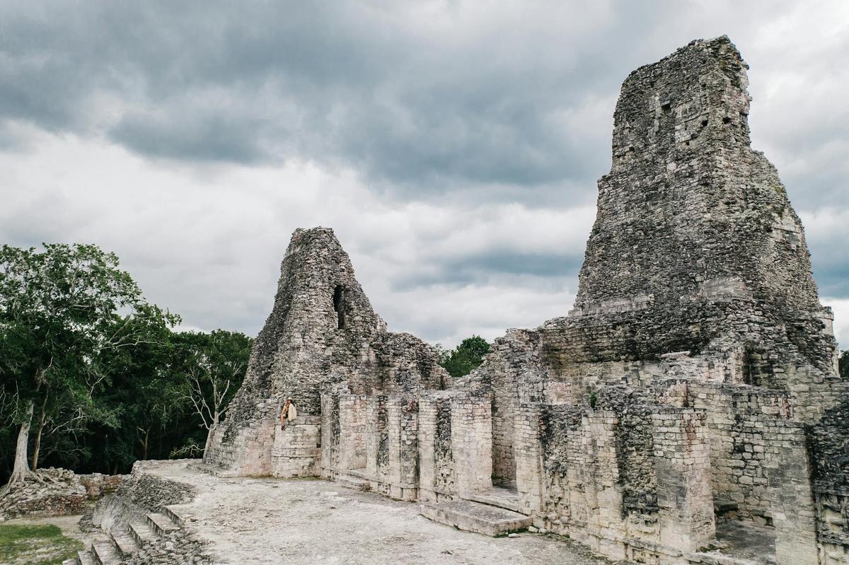
How Drones are Revolutionizing Archaeological Discoveries
The integration of drones into archaeological research is transforming the way we uncover and understand our past, providing unprecedented access to previously unreachable sites and delivering high-resolution data quickly and efficiently.
Drones, or unmanned aerial vehicles (UAVs), have become invaluable tools in archaeology, offering new perspectives and capabilities for researchers. Their ability to capture detailed images from above allows archaeologists to survey large areas swiftly and with minimal environmental impact. This aerial advantage is particularly beneficial in areas that are otherwise difficult to access due to geographic or political barriers.
The Impact of Drones on Archaeological Discoveries
A growing number of archaeologists are turning to drones to enhance their fieldwork. According to a study published in the Journal of Archaeological Science, drones have reduced surveying time by nearly 80% in some projects, allowing teams to focus resources on analysis rather than labor-intensive ground surveys.
Expert Insights
Dr. Emily Thompson, an expert in digital archaeology, notes, “Drones have revolutionized the way we document and interpret archaeological sites. The ability to create detailed 3D models of landscapes and structures has opened up new avenues for research and preservation.”
Case Studies and Examples
In Peru, drones have been used to map the Nazca Lines, revealing new geoglyphs that were previously undetected. Similarly, in Egypt, drones have assisted in the documentation of pyramid sites, providing detailed imagery that enhances preservation efforts.
Actionable Tips for Using Drones in Archaeology
- Invest in high-quality drones equipped with advanced camera systems for the best results.
- Ensure compliance with local regulations regarding UAV usage in archaeological sites.
- Collaborate with drone operators who have experience in archaeological settings.
Consider using drones with thermal imaging capabilities to detect buried structures that are not visible to the naked eye.
Comparison of Traditional vs. Drone-Based Surveying
| Aspect | Traditional Surveying | Drone-Based Surveying |
|---|---|---|
| Speed | Slow | Fast |
| Cost | High | Moderate |
| Accuracy | Moderate | High |
| Environmental Impact | Significant | Minimal |
| Accessibility | Limited | Extensive |
| Data Quality | Variable | Consistent |
| Safety | Moderate Risk | Low Risk |
| Coverage | Limited | Comprehensive |
FAQs
How do drones improve archaeological site preservation?
Drones allow for detailed and non-invasive mapping, reducing the need for physical disturbance at sites, which helps in preserving their integrity.
What are the legal considerations when using drones?
It is essential to comply with local UAV regulations, acquire necessary permits, and respect privacy and cultural sensitivities in the areas where drones are used.
Conclusion
In summary, drones are significantly enhancing archaeological research by providing new ways to explore, document, and preserve cultural heritage sites. As technology continues to advance, the role of drones in archaeology is expected to grow, offering even more innovative solutions for uncovering our past. Whether you’re an archaeologist or simply interested in the field, keeping up with these technological advancements can offer valuable insights and opportunities for discovery.


